Read Time 5 mins
20/05/2023

-
What is drone mapping?
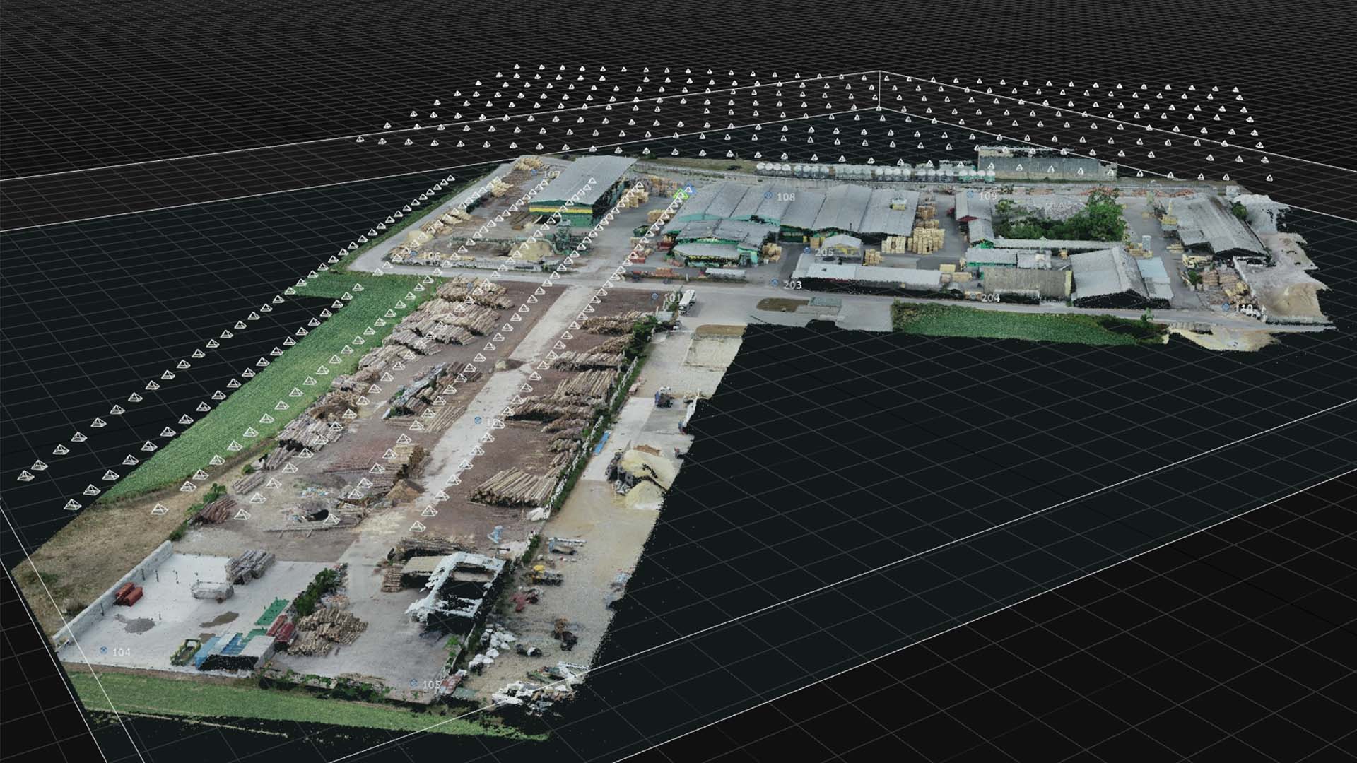
Drone mapping is the process of using a drone (or unmanned aerial vehicle) equipped with a camera or other sensors to capture aerial data. This data is then processed to create detailed maps or 3D models of the surveyed area. It's a quicker and more cost-effective alternative to traditional mapping methods.
-
How does drone mapping work?
Drone mapping involves flying a drone over an area of interest, during which the drone captures a series of high-resolution images or other data. These images are then processed using specialized software that stitches them together to create a comprehensive map or 3D model.
-
What types of maps can be created with drone mapping?
Drone mapping can produce a variety of map types, including orthomosaic maps (georeferenced images that correct for perspective so that they can be used just like a traditional map), topographic maps (which show the shape and features of the terrain), and 3D models of structures or landscapes.
-
What industries use drone mapping?
Drone mapping is used in a variety of industries, including construction, agriculture, mining, environmental management, real estate, and disaster response. It's used to monitor crop health, assess construction progress, create property marketing materials, map hard-to-reach areas, and more.
-
What are the advantages of drone mapping?
Drone mapping offers several advantages. It's often faster and more cost-effective than traditional surveying methods. It can also provide access to hard-to-reach or dangerous areas and produce high-resolution, up-to-date maps.
-
What equipment do I need for drone mapping?
For drone mapping, you'll need a drone equipped with a high-resolution camera or other sensors, a GPS system for accurate positioning, and mapping software to process the data. Some projects might require additional equipment, such as multispectral sensors for agricultural applications.
-
What is the accuracy of drone mapping?
The accuracy of drone mapping depends on several factors, including the quality of the camera, the altitude at which the drone is flown, and the software used to process the images. However, with the right equipment and conditions, drone mapping can achieve sub-meter or even centimeter-level accuracy.
-
How do I get started with drone mapping?
Getting started with drone mapping involves acquiring the necessary equipment (drone, camera, software), learning how to safely operate the drone, and understanding how to process and interpret the collected data. Many individuals also choose to undertake training or certification courses in drone operation and mapping.
-
What are the regulatory considerations for drone mapping?
Drone operation is regulated by aviation authorities such as the FAA in the U.S., and rules can vary by country. Regulations often cover aspects such as where and when you can fly, how high you can fly, and whether you need to keep the drone within your line of sight.
-
Are there privacy concerns with drone mapping?
Yes, there can be privacy concerns with drone mapping, as drones are capable of capturing high-resolution images from the air. Drone operators should always respect privacy laws and avoid capturing images of people or private property without permission.