Read Time 5 mins
08/06/2024

Drone Mapping and Surveying in Milton Keynes
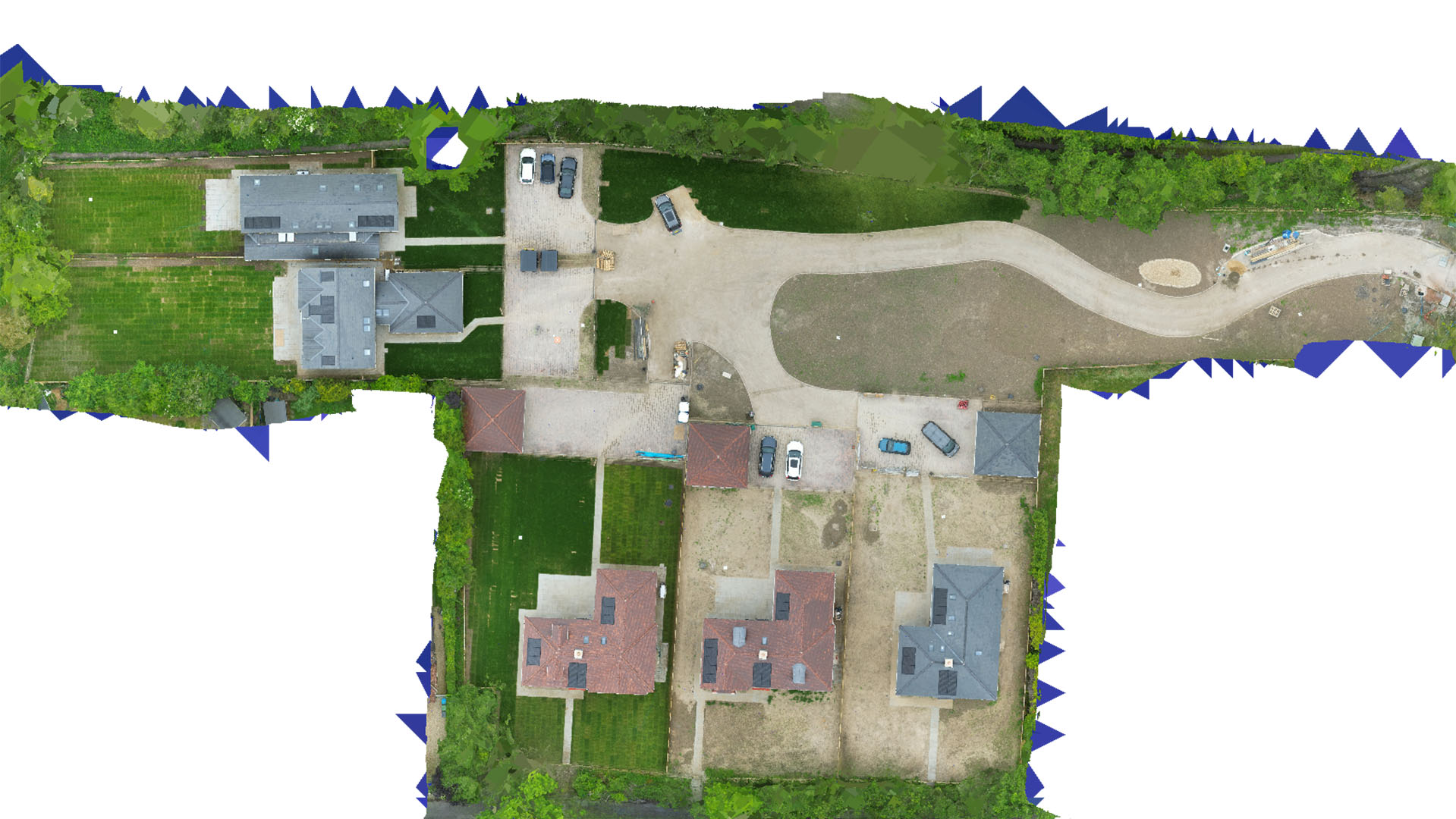
Carrot Drone Services offers advanced drone mapping and surveying solutions in Milton Keynes, enhancing urban development, industrial operations, and environmental management with precise aerial data.
Innovative Drone Services for Milton Keynes
Our drone services in Milton Keynes are tailored to meet the needs of one of the UK's fastest-growing cities, from commercial developments to public infrastructure and ecological conservation.
Applications of Our Drone Services
Our drone technology supports a variety of essential functions:
- Urban Planning: Provide vital data for the city's expansion projects, helping planners and developers design spaces that balance growth with sustainability.
- Industrial Monitoring: Aid industrial facilities in managing operations by providing aerial insights into logistics, site safety, and compliance with environmental regulations.
- Environmental Studies: Conduct detailed surveys of parklands and nature reserves to assist with conservation efforts and monitor ecological impacts.
- Commercial Real Estate: Enhance property evaluations and marketing with high-resolution aerial imagery, giving stakeholders a detailed view of potential investments.
- Event Planning and Public Safety: Offer strategic planning support for large public events and safety initiatives, utilizing drones for crowd monitoring and emergency response planning.
Why Choose Carrot Drone Services in Milton Keynes?
With our state-of-the-art technology and a deep understanding of Milton Keynes' urban and environmental dynamics, Carrot Drone Services is equipped to provide top-tier drone surveying and mapping services. We are committed to delivering insights that drive efficiency and innovation in every project.
Contact Us
To discover how our drone services can impact your projects in Milton Keynes, please contact us or call us at +44 3333 034874.