Read Time 10 mins
03/05/2023

As a drone services provider specializing in 2D & 3D drone mapping with ground control points, you have a wide variety of potential customers across multiple industries. Some of these industries and the deliverables they might expect are listed below:
Construction and Engineering
Customers
Construction companies, civil engineers, architects, surveyors, and urban planners.
Deliverables
High-resolution 2D orthomosaic maps, 3D models of construction sites, topographic maps, contour lines, and digital surface models (DSMs).
Formats
GeoTIFF, AutoCAD, Civil3D, SketchUp, and other GIS or CAD-compatible formats.
Uses
Site planning and design: High-resolution 2D maps and 3D models help architects, civil engineers, and urban planners visualize the project area and develop accurate site plans and designs.
Progress monitoring: Regular drone mapping helps construction companies track progress, ensure compliance with plans, and identify potential issues before they escalate.
Earthworks and volume calculations: Topographic maps and digital surface models (DSMs) enable accurate volume calculations for earthworks, cut and fill operations, and stockpile management.
Asset inspection: Drone mapping assists in inspecting structures like bridges, towers, and buildings, reducing risks associated with manual inspections.
Agriculture and Forestry
Customers
Farmers, agricultural consultants, forestry managers, and environmental agencies.
Deliverables
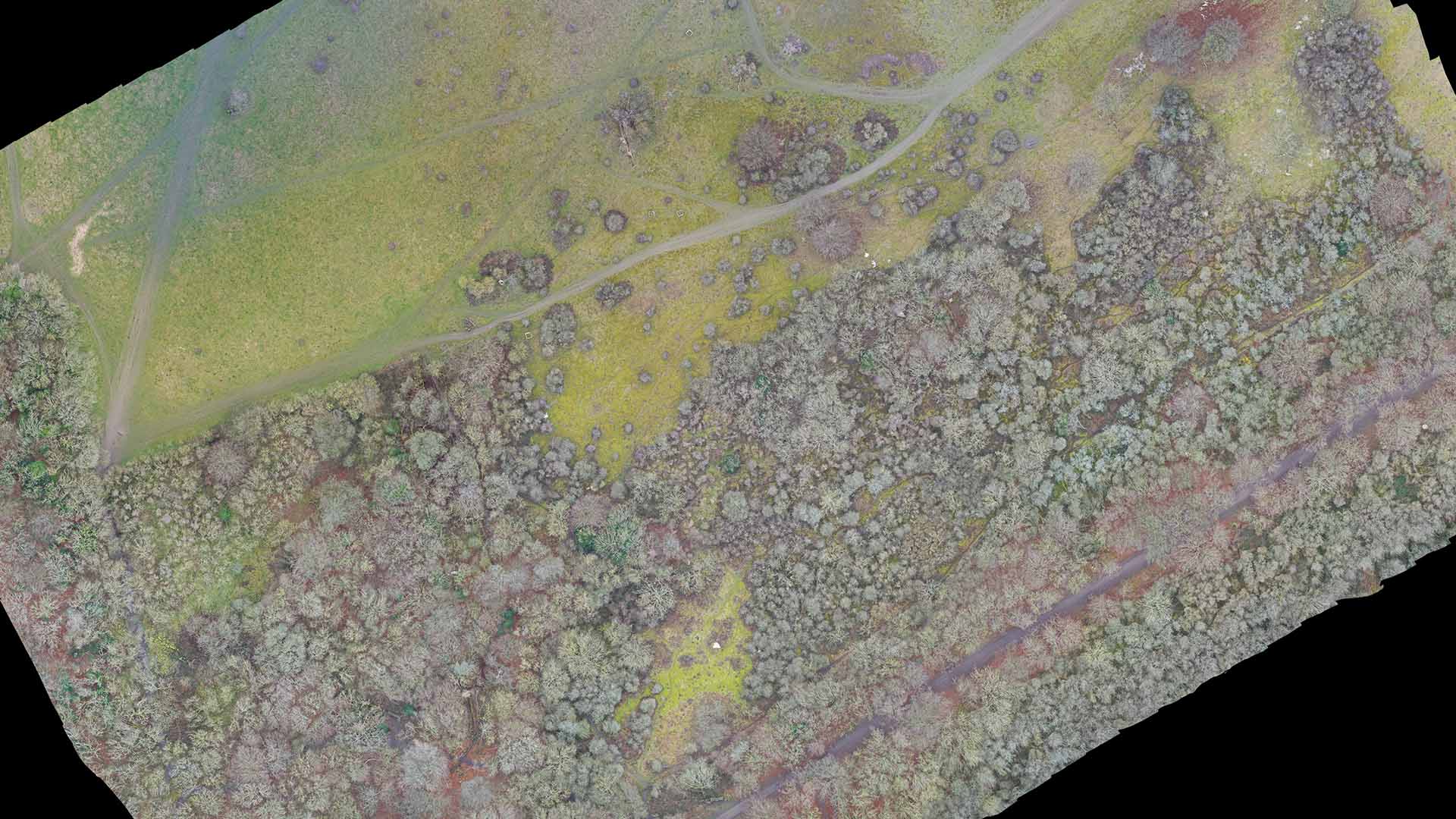
2D maps for crop monitoring and health assessment, 3D models of tree canopies, elevation data, and soil analysis maps.
Formats
GeoTIFF, KML/KMZ, Shapefile, and other GIS-compatible formats.
Uses
Crop monitoring and health assessment: 2D maps provide valuable information on crop health, enabling farmers to make informed decisions on irrigation, fertilization, and pest control.
Precision agriculture: Drone mapping allows for the creation of prescription maps, which guide the application of variable-rate treatments in the field.
Forest management: 3D models of tree canopies help forestry managers plan sustainable harvesting, monitor tree health, and calculate biomass.
Environmental assessment: Drone mapping assists in identifying areas affected by erosion, waterlogging, and invasive species.
Mining and Energy
Customers
Mining companies, oil and gas operators, renewable energy providers, and environmental consultants.
Deliverables
3D terrain models, volumetric analysis of stockpiles, site inspection reports, and vegetation analysis.
Formats
GeoTIFF, LAS/LAZ (point cloud data), and other GIS-compatible formats.
Uses
Terrain modelling and analysis: 3D terrain models help mining companies identify mineral deposits, plan extraction operations, and monitor environmental impacts.
Stockpile management: Volumetric analysis of stockpiles enables accurate inventory management and production forecasting.
Infrastructure inspection: Drone mapping aids in the inspection of pipelines, solar panels, and wind turbines, allowing for more efficient maintenance and reduced downtime.
Vegetation analysis: Mapping the vegetation around energy sites helps monitor environmental compliance and minimize the impact on ecosystems.
Real Estate and Land Development
Customers
Real estate developers, property managers, and landowners.
Deliverables
2D high-resolution maps for land analysis, 3D models of buildings and property, virtual tours, and promotional materials.
Formats
JPEG, PNG, GeoTIFF, SketchUp, 3D PDF, and video formats like MP4.
Uses
Site analysis and selection: High-resolution maps help real estate developers evaluate land suitability, identify potential issues, and determine development costs.
Marketing and promotion: 3D models and virtual tours showcase properties in an immersive way, providing an engaging experience for potential buyers or tenants.
Property management: Regular drone mapping enables property managers to monitor the condition of their assets and plan maintenance more efficiently.
Environmental Management and Conservation:
Customers
Environmental agencies, conservation organizations, and research institutions.
Deliverables
Habitat mapping, vegetation analysis, erosion monitoring, and wildlife tracking.
Formats
GeoTIFF, KML/KMZ, Shapefile, and other GIS-compatible formats.
Uses
Habitat mapping: Drone mapping helps identify critical habitats and monitor changes in ecosystems, informing conservation efforts and land management decisions.
Vegetation analysis: Mapping vegetation helps researchers study plant communities, monitor the spread of invasive species, and assess the impacts of climate change.
Erosion monitoring: Regular mapping can track erosion and sedimentation patterns, allowing for the implementation of targeted mitigation measures.
Wildlife tracking: Drones can be used to track and monitor wildlife populations, enabling more effective conservation strategies and reducing human-wildlife conflicts.
Emergency Response and Disaster Management
Customers
Emergency response agencies, local government, and insurance companies.
Deliverables
Post-disaster 2D maps, 3D models of affected areas, damage assessment reports, and change detection analysis.
Formats
GeoTIFF, KML/KMZ, Shapefile, and other GIS-compatible formats.
Uses
Post-disaster assessment: 2D maps and 3D models help emergency responders assess damage, prioritize resources, and plan recovery efforts.
Change detection analysis: Comparing pre- and post-disaster maps enables a better understanding of the extent of the damage and helps identify areas at risk for future disasters.
Insurance claims: Drone mapping provides accurate data for insurance companies to assess property damage and process claims more efficiently.
Conclusion
As a drone services provider specializing in 2D & 3D drone mapping using ground control points, your potential customers span a wide range of industries, including construction and engineering, agriculture and forestry, mining and energy, real estate and land development, environmental management and conservation, and emergency response and disaster management. Each industry has unique applications and use cases for drone mapping, which can help improve efficiency, cost-effectiveness, safety, and decision-making processes.
By understanding the specific needs and challenges faced by clients in each sector, you can tailor your services and deliverables to address their requirements. Offering high-quality maps, 3D models, and other relevant deliverables in industry-compatible formats will ensure that your clients can effectively utilize the data you provide to enhance their operations and achieve their goals. As a drone services provider, it is crucial to communicate the benefits of drone mapping and be prepared to adapt your offerings to meet the evolving demands of your target market.