Read Time 5 mins
07/06/2024

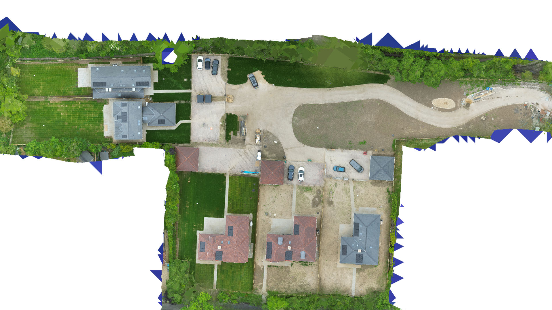
Drone Mapping and Surveying in Dunstable
Carrot Drone Services offers comprehensive drone mapping and surveying in Dunstable, enhancing infrastructure development, environmental monitoring, and land management with precise aerial insights.
Specialized Drone Services for Dunstable
Our services in Dunstable are customized to meet the diverse needs of this growing town, from supporting new construction projects to conserving natural landscapes.
Applications of Our Drone Services
Our drone technology provides essential data for a variety of critical applications:
- Construction and Development: Aid developers and construction firms with accurate site surveys, helping to plan and monitor new projects effectively.
- Infrastructure Maintenance: Perform inspections and monitor the condition of Dunstable's infrastructure, including roads, bridges, and public buildings, to assist in maintenance and safety checks.
- Environmental Conservation: Gather detailed ecological data to support local conservation projects, helping to protect and manage Dunstable’s green spaces and wildlife habitats.
- Land Management: Provide landowners and agricultural businesses with precise mapping for land use planning, resource management, and agricultural optimization.
- Real Estate and Planning: Supply real estate agents and planners with detailed aerial imagery and topographical data to enhance property listings and urban planning processes.
Why Choose Carrot Drone Services in Dunstable?
With our advanced drone capabilities and commitment to providing tailored solutions, Carrot Drone Services is the preferred choice for drone mapping and surveying in Dunstable. We deliver reliable, high-quality data tailored to meet the specific needs of each client and project.
Contact Us
To explore how our drone services can enhance your projects in Dunstable, please contact us or call us at +44 3333 034874.