Read Time 5 mins
07/06/2024

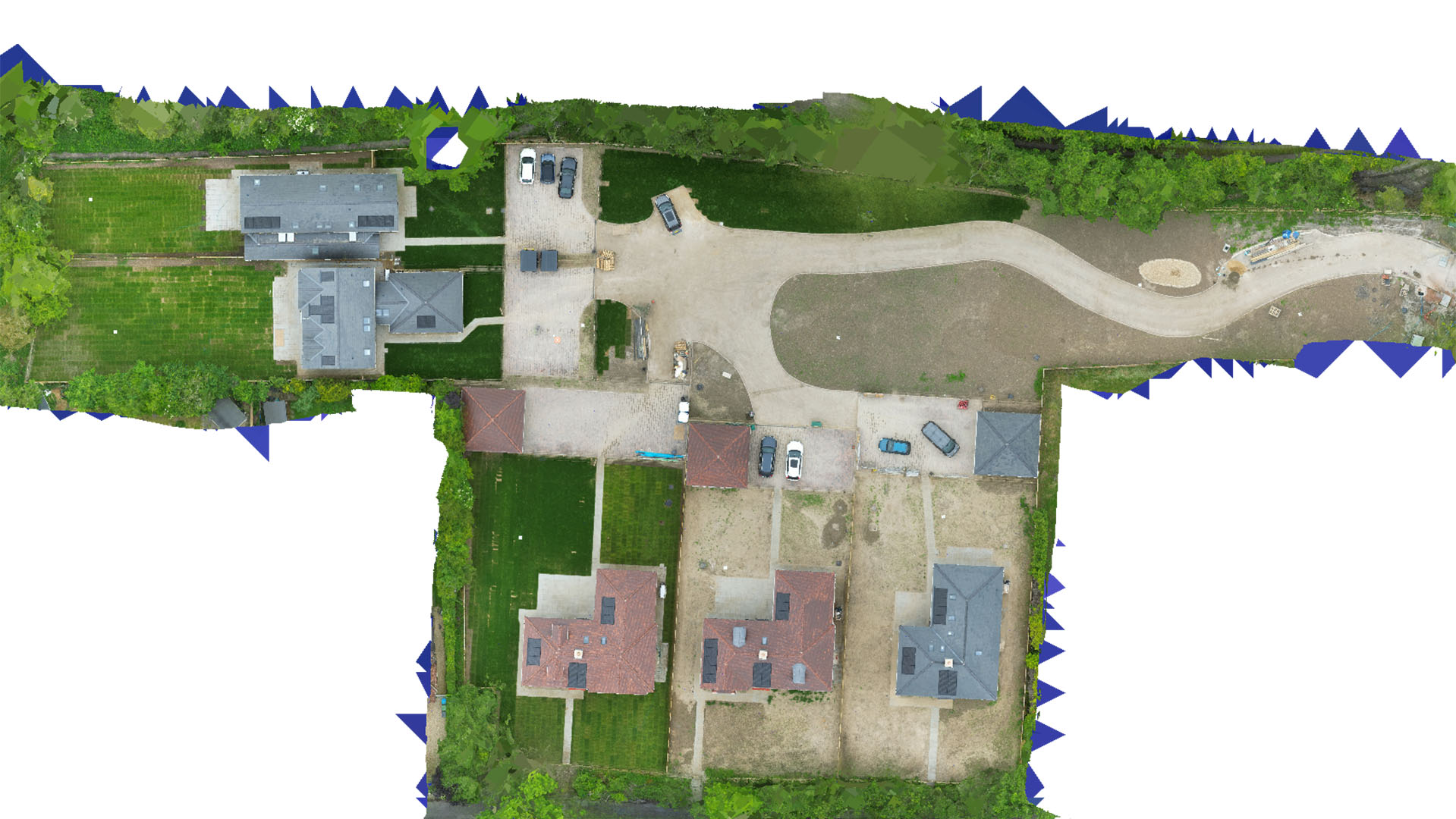
Drone Mapping and Surveying in Leighton Buzzard
Carrot Drone Services delivers high-quality drone mapping and surveying in Leighton Buzzard, supporting urban development, historical preservation, and environmental monitoring with advanced aerial data collection.
Comprehensive Drone Solutions for Leighton Buzzard
Our drone services in Leighton Buzzard are tailored to enhance both the development of urban areas and the conservation of its historical and natural landscapes.
Applications of Our Drone Services
Our drones provide essential insights for diverse projects:
- Historical Site Documentation: Accurately document and monitor Leighton Buzzard’s historical sites and structures with minimal physical impact, aiding in their preservation and study.
- Urban Development and Planning: Assist urban planners and developers with precise aerial surveys that inform better decision-making for land use and infrastructure projects.
- Environmental Conservation: Conduct environmental studies to monitor and manage the conservation of local wildlife areas and green spaces, promoting sustainable practices.
- Real Estate Development: Provide comprehensive data for real estate development, enhancing site selection, project planning, and marketing with detailed aerial imagery.
- Public Safety and Event Planning: Enhance public safety measures and event planning capabilities with detailed aerial views for effective crowd and traffic management.
Why Choose Carrot Drone Services in Leighton Buzzard?
Carrot Drone Services stands out for its commitment to precision and responsible data collection, ensuring all projects in Leighton Buzzard benefit from the latest drone technology while respecting local regulations and heritage concerns.
Contact Us
Discover the impact of our drone mapping and surveying services on your projects in Leighton Buzzard. For more information or to schedule a consultation, please contact us or call us at +44 3333 034874.