Read Time 5 mins
03/10/2023

Introduction
Drone mapping missions require a delicate orchestration of cutting-edge hardware and sophisticated software. At Carrot Drone Services, we offer a blend of these through our usage of advanced drone capture software and Reality Capture techniques. This blog post offers a deep dive into how these technologies work in concert to deliver high-precision drone mapping solutions.
Drone Capture Software: The Cornerstone
Drone capture software like DroneDeploy, MapsMadeEasy, Pix4D Capture, and Drone Harmony serves as the cornerstone of aerial mapping. These software solutions offer seamless integration with drones, providing comprehensive control mechanisms and data capture functionalities.
Capture Mechanics: How Drone Capture Software Works
Understanding the mechanics of how drone capture software maps an area can provide valuable insights into its efficacy. Here’s a step-by-step breakdown:
Flight Planning
Before the drone takes off, the software assists in planning the flight path. This involves defining waypoints, altitudes, and overlapping percentages between consecutive photographs. Advanced algorithms help determine the most efficient flight path to cover the designated area comprehensively.
Data Acquisition
Once the drone is in the air, the software manages real-time data acquisition. This involves triggering the camera at specific intervals based on the pre-defined flight plan, ensuring that the entire area is mapped with a consistent level of detail.
GPS and IMU Data
Concurrent with image capture, the drone’s Global Positioning System (GPS) and Inertial Measurement Unit (IMU) feed locational and orientational data into the software. This metadata is crucial for post-processing as it helps align and stitch the images together accurately.
Obstacle Avoidance
Advanced capture software like Drone Harmony has built-in obstacle avoidance algorithms. Utilising real-time sensor data, the drone can dynamically alter its flight path to avoid any unforeseen obstructions.
Real-time Monitoring
Most capture software platforms offer real-time monitoring features that allow us to make in-flight adjustments. This ensures the highest quality data capture, even in fluctuating environmental conditions.
Reality Capture: Post-Processing Mastery
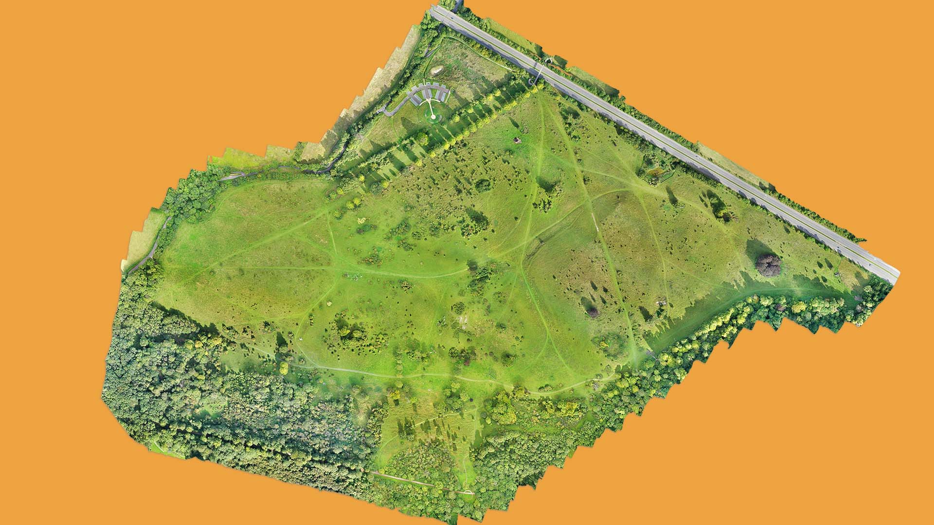
Reality Capture steps in once the drone mission is complete and the data has been acquired. It processes the raw data to develop a range of useful outputs such as:
- 3D Models
- Orthomosaics
- Digital Surface Models (DSMs)
- Digital Terrain Models (DTMs)
- Volumetric Calculations
- Cut and Fill Calculations
These are critical for various industries, including construction, agriculture, and environmental monitoring.
Applications in Mapping
The outputs from Reality Capture offer endless possibilities for analysis and action. For instance, in construction, cut and fill calculations are critical for earthwork estimation. In agriculture, NDVI maps are indispensable for evaluating soil health and moisture levels.
Conclusion
From flight planning to post-processing, the fusion of advanced drone capture software and Reality Capture technology delivers a comprehensive mapping solution. With Carrot Drone Services, you can be assured of the utmost precision and efficiency in all your mapping requirements.