Read Time 5 mins
09/06/2024

Drone Mapping and Surveying in South London
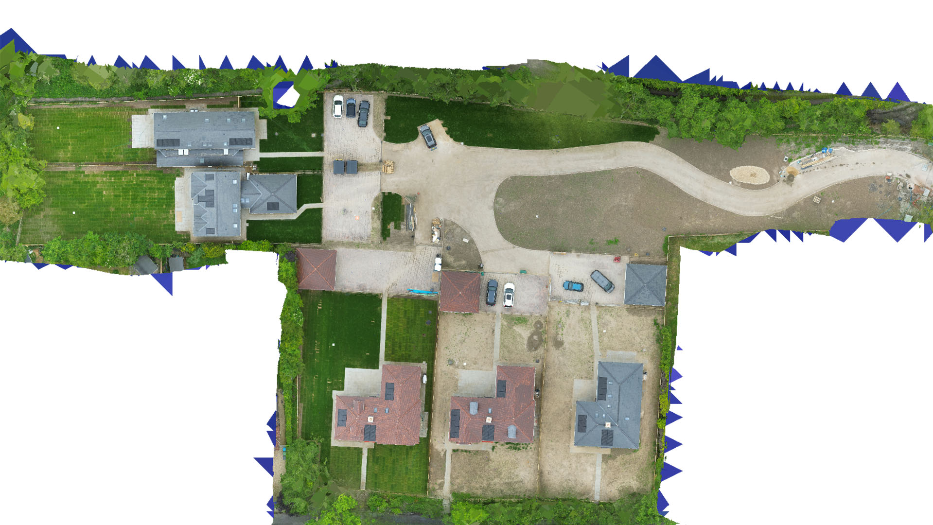
Carrot Drone Services delivers cutting-edge drone mapping and surveying solutions in South London, enhancing urban regeneration, environmental management, and community planning with high-resolution aerial data.
Comprehensive Drone Solutions for South London
Our services in South London are customized to meet the demands of its rapidly evolving urban landscape, supporting the development and conservation efforts that define this vibrant area.
Applications of Our Drone Services
Our drones provide essential data for various applications:
- Urban Regeneration Projects: Provide accurate and up-to-date aerial surveys that inform redevelopment projects, helping to revitalize neighborhoods and improve local amenities.
- Environmental Conservation: Monitor and document environmental projects and green spaces, aiding efforts to protect and improve urban wildlife habitats and air quality.
- Infrastructure Development: Support the expansion and maintenance of infrastructure with detailed mapping, crucial for planning public transportation, utilities, and road networks.
- Community Planning: Enhance community engagement and planning with visual data that supports public consultations and planning proposals.
- Real Estate and Commercial Development: Offer developers and investors detailed insights into property layouts, site potential, and project progress, enhancing decision-making and marketing strategies.
Why Choose Carrot Drone Services in South London?
Our advanced drone capabilities and commitment to community collaboration make Carrot Drone Services a leader in drone mapping and surveying in South London. We understand the complexities of urban development and provide solutions that respect the cultural and environmental fabric of the community.
Contact Us
Learn how our drone services can impact your projects in South London. For more information or to arrange a detailed discussion, please contact us or call us at +44 3333 034874.