Read Time 5 mins
11/06/2024

Drone Mapping and Surveying in Coventry
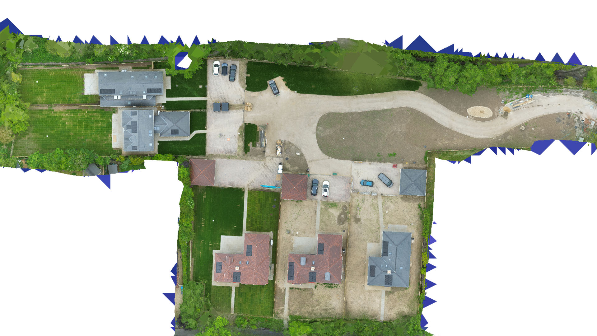
Carrot Drone Services provides comprehensive drone mapping and surveying in Coventry, enhancing urban redevelopment, historic preservation, and infrastructure management with detailed aerial insights.
Advanced Drone Solutions for Coventry
In Coventry, our drone services are specially tailored to support the city's blend of historical importance and modern urban development, delivering precise data for a variety of applications.
Applications of Our Drone Services
Our drones offer essential insights for:
- Urban Redevelopment: Support redevelopment projects with aerial surveys that provide critical data for planning and execution, ensuring developments respect Coventry's rich history while promoting modern urban growth.
- Historic Preservation: Document and monitor historical sites and structures with high-resolution imaging, aiding in their conservation and providing valuable data for restoration efforts without intrusive physical surveying.
- Infrastructure Monitoring: Aid in the assessment and maintenance of Coventry’s infrastructure, including roads, bridges, and public utilities, to enhance safety and efficiency.
- Environmental Management: Conduct detailed environmental assessments, particularly for projects impacting green spaces and public parks, to ensure sustainable development practices.
- Commercial and Residential Development: Provide detailed site analysis and progress monitoring for real estate projects, helping developers and investors make informed decisions.
Why Choose Carrot Drone Services in Coventry?
Our commitment to leveraging the latest drone technology and providing comprehensive solutions makes Carrot Drone Services a leader in drone mapping and surveying in Coventry. We understand the city's unique challenges and deliver results that meet the high standards of our clients.
Contact Us
To learn how our drone services can benefit your projects in Coventry, please contact us or call us at +44 3333 034874.