Read Time 5 mins
10/06/2024

Drone Mapping and Surveying in Derby
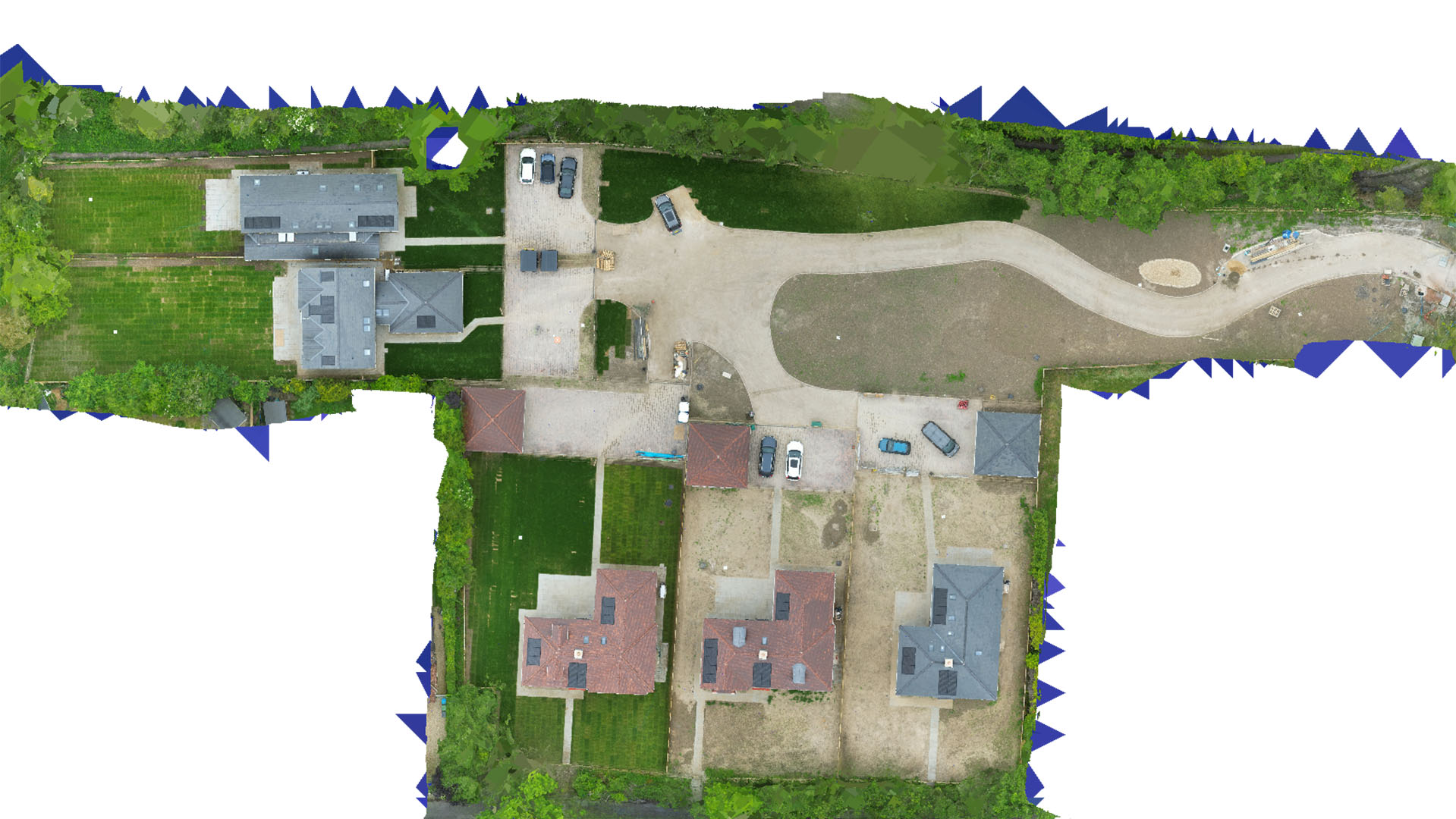
Carrot Drone Services provides cutting-edge drone mapping and surveying in Derby, enhancing industrial operations, urban planning, and environmental conservation efforts with high-resolution aerial data.
Advanced Drone Solutions for Derby
Our drone services in Derby are tailored to support the city's significant industrial sector and its urban and environmental needs, delivering data-driven insights for efficient and sustainable development.
Applications of Our Drone Services
Our drones are crucial for a variety of applications:
- Industrial Monitoring and Inspection: Provide comprehensive aerial surveys of industrial sites, aiding in maintenance, safety checks, and compliance with environmental standards.
- Urban Development: Assist in the planning and execution of urban development projects with detailed topographical surveys that inform land use decisions and infrastructure investments.
- Environmental Management: Conduct environmental impact assessments and monitor conservation areas to ensure the sustainability of local ecosystems.
- Real Estate and Property Management: Supply developers and property managers with detailed aerial imagery that enhances real estate assessments and marketing.
- Public Safety and Emergency Planning: Enhance public safety protocols and emergency response strategies with timely and accurate aerial data.
Why Choose Carrot Drone Services in Derby?
Our commitment to technological excellence and customer satisfaction makes Carrot Drone Services the preferred provider for drone mapping and surveying in Derby. We understand the specific challenges of industrial and urban environments and deliver customized solutions that drive project success.
Contact Us
Discover how our drone services can transform your projects in Derby. For more information or to schedule a consultation, please contact us or call us at +44 3333 034874.