Advantages of Drone Services Over Conventional Methods
Drone technology has revolutionised traditional practices in multiple industries, proving itself as an efficient, cost-effective, and safe alternative. Here's why choosing Carrot Drone Services gives you a significant edge:
Safety
Drone technology dramatically reduces the need for physical human involvement in potentially dangerous environments or challenging terrains, thus reducing the risk of accidents and ensuring worker safety.
Efficiency
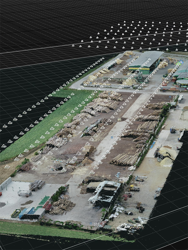
Drones can cover large areas and hard-to-reach places quickly and efficiently, providing high-resolution data that is more comprehensive and accurate than traditional surveying methods.
Speed
Our drone services significantly cut down the time it takes to collect data, perform inspections, or track progress. This means quicker turnarounds and more timely decision-making for your projects.
Cost-Effective
Drones reduce the need for expensive machinery or extensive manpower, making them a cost-efficient solution for many tasks ranging from land surveys to property inspections.
High-Quality Data
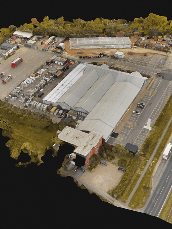
Drone technology, coupled with our advanced GNSS PPK system, delivers high-quality, detailed data, allowing for accurate analysis and informed decision making.
Environmentally Friendly
Drones have a smaller environmental footprint than many traditional methods, making them a more sustainable choice for surveying and environmental management.


